Lake Michigan Depth Chart: Maximum Depth, Fishing Zones and Species by Depth
Fishn Buddy is reader-supported. We earn a commission from Amazon purchases made through links on this page at no extra cost to you.
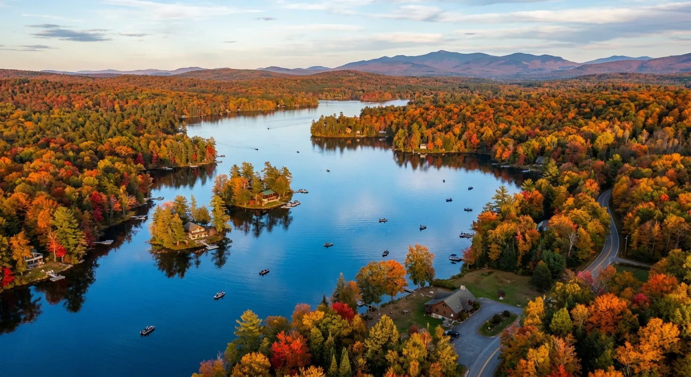
Lake Michigan is the only Great Lake located entirely within the United States, and it is one of the deepest freshwater lakes on earth. Understanding its depth chart unlocks the locations of its fish: salmon and lake trout suspend over the deep basin, yellow perch and smallmouth bass hold on nearshore structure, and the glacially-carved basins of Green Bay and Grand Traverse Bay each fish like separate lakes.
This page covers the actual depth numbers, the fish species tied to each depth zone, and the best fishing areas broken down by depth.
Lake Michigan at a Glance: Depth Statistics
| Measurement | Value |
|---|---|
| Maximum depth | 925 ft (282 m) |
| Average depth | 279 ft (85 m) |
| Surface area | 22,394 sq mi (57,980 km2) |
| Volume | 1,180 cubic miles (4,920 km3) |
| Length | 307 miles (494 km) |
| Maximum width | 118 miles (190 km) |
| Shoreline length | 1,640 miles (2,640 km) |
| Deepest location | Northern basin, north of Frankfort, MI |
| Rank among Great Lakes by depth | 4th deepest (Lake Superior, Huron, Ontario deeper) |
The 925-foot maximum is found in the northern basin where ancient glaciers carved the lakebed deepest. The southern basin, roughly from Chicago to Milwaukee to Grand Haven, is considerably shallower, averaging 100-200 feet. Green Bay, technically part of Lake Michigan, has its own much shallower profile discussed below.
Fish Finders for Deep-Water Fishing
At a Glance


Product images and titles from Amazon. As an Amazon Associate we earn from qualifying purchases.
Depth Zones and Fish Species
Lake Michigan's fish populations stratify predictably by depth, temperature, and oxygen. The three key variables are the thermocline (typically 40-80 feet in summer), dissolved oxygen levels, and baitfish distribution. Understanding where each species sits on the depth chart is the fastest way to stop drifting aimlessly and start finding fish.
Nearshore Zone: 0-30 Feet
Primary species: Smallmouth bass, largemouth bass (harbors and river mouths), yellow perch, northern pike (Green Bay tributaries), brown trout (spring), carp.
The nearshore zone runs along beaches, rocky points, and pier structures. In spring it holds the best fishing of the year as brown trout stack near river mouths before heading upstream. Summer smallmouth bass stack on boulder fields and gravel flats in this range. Yellow perch school over sand and gravel in 15-25 feet from late summer through fall.
Gear: light to medium spinning tackle, 8-12 lb fluorocarbon, 8-10 lb monofilament for perch rigs, drop-shot rigs and tubes for smallmouth.
Mid-Range Zone: 30-80 Feet
Primary species: Coho salmon, steelhead (rainbow trout), walleye (Green Bay), yellow perch, lake whitefish, alewife (baitfish), lake trout in spring.
The 30-80 foot range is where most charter boat fishing happens from spring through early summer. Coho salmon stack above the thermocline chasing alewives, and steelhead run the shallower end of this band near tributary plumes. Downriggers or leadcore line are the standard method for placing spoons and plugs at the right depth.
Gear: medium-heavy trolling rods, 20-30 lb fluorocarbon leaders, Michigan-style spoons, and stickbaits in alewife colors.
Offshore Zone: 80-200 Feet
Primary species: Chinook (king) salmon, lake trout, coho salmon (summer), lake whitefish, ciscoes.
This is the prime chinook zone in summer once the thermocline sets up. Kings suspend 10-30 feet above bottom or 10-20 feet below the thermocline, whichever puts them closest to concentrations of alewife. Charter boats targeting kings typically run electric downriggers with planer boards set at 80-130 feet. A quality fish finder with side-imaging and GPS integration is essential at this depth range.
Fish finder pick for offshore: Lowrance HDS-9 Live with Active Imaging 3-in-1 transducer handles 200 feet without dropping sonar resolution.
Deep Basin: 200-925 Feet
Primary species: Burbot (freshwater cod), cisco (lake herring), bloater, deep-water sculpin, lake trout (in cold months).
Below 200 feet, cold water and low oxygen limit most sport fish activity. Lake trout can be caught below 200 feet in mid-summer when upper water temperatures push them deep. Burbot, the only freshwater member of the cod family, thrive in the deep cold basin year-round but are most accessible through the ice in winter from sheltered bays. Very few anglers target this zone from open water.
Notable Areas and Their Depths
| Area | Max Depth | Avg Depth | Key Species |
|---|---|---|---|
| Northern basin (main lake) | 925 ft (282 m) | ~350 ft | Lake trout, chinook, cisco |
| Southern basin (Chicago to Grand Haven) | ~200 ft | ~100 ft | Coho, chinook, perch, smallmouth |
| Grand Traverse Bay | ~500 ft | ~145 ft | Lake trout, chinook, coho, smallmouth |
| Little Traverse Bay | ~200 ft | ~100 ft | Coho, lake trout, smallmouth |
| Green Bay | ~180 ft | ~62 ft | Walleye, northern pike, smallmouth, yellow perch |
| Straits of Mackinac | ~295 ft | ~100 ft | Lake trout, steelhead, walleye |
| Milwaukee Harbor area | ~80 ft | ~50 ft | Coho, brown trout (spring), perch |
| Chicago lakefront | ~40 ft | ~25 ft | Coho, yellow perch, smallmouth bass |
Seasonal Depth Patterns
Spring (March-May)
Water temperatures are uniform top to bottom before the thermocline sets up. Brown trout stack near river mouths in 10-30 feet. Coho and steelhead push into shallow water, often catchable from piers in 15-30 feet. Small spoons and spawn bags work close to river plumes.
Summer (June-August)
The thermocline sets up between 40 and 80 feet, pushing salmon and lake trout to deeper, colder water. Chinook suspend in 80-150 feet, riding the temperature transition. Smallmouth bass hold on rocky nearshore structure in 15-40 feet early and late in the day. This is the core charter fishing season for downrigger trolling. A fish finder with temperature tracking helps locate the thermocline quickly.
Fall (September-November)
As surface temperatures drop, the thermocline breaks down and fish disperse. Chinook and coho stack near tributary mouths preparing to run. Perch and walleye (in Green Bay) move into shallower flats. This is when the biggest lake trout of the year are caught in 60-120 feet on the open lake.
Winter (December-March)
Open water freezes only in the far-northern bays and Green Bay's edges. Ice fishing is limited to protected harbors. Burbot and perch are the primary winter targets. Lake trout remain active in 60-120 feet and can be caught by jigging or tip-up fishing through harbor ice where it forms.
Choosing a Fish Finder for Lake Michigan
Lake Michigan's depth range spans from 10 feet of nearshore rock to 925 feet of open-basin water. No single transducer covers that entire range with equal resolution, so match your unit to the fishing you actually do.
| Use Case | Depth Range | Recommended Unit |
|---|---|---|
| Pier/nearshore perch and bass | 5-50 ft | Lowrance HOOK Reveal 5 |
| Coho and steelhead trolling | 30-100 ft | Garmin Striker Vivid 5cv |
| Chinook salmon and lake trout offshore | 80-200 ft | Humminbird Helix 7 Chirp MEGA |
| Deep-basin trolling and chartering | 100-400 ft | Lowrance HDS-9 Live |
For Green Bay walleye and perch in 20-80 feet, any quality CHIRP unit works. For offshore chinook in 100-150 feet, side-imaging and GPS chart integration become worthwhile: you can mark baitfish schools, flag waypoints on fish activity, and monitor water temperature simultaneously. See our full fish finder guide for detailed comparisons.
Reading Lake Michigan Depth Charts
Official NOAA nautical charts show Lake Michigan's depth in fathoms (1 fathom = 6 feet). NOAA chart 14900 covers the whole lake; regional charts zoom into specific harbors and bays. Navionics and C-MAP cartography, available as chips for most modern fish finders, provide higher resolution for nearshore structure than the paper NOAA charts.
Key features to mark on a Lake Michigan depth chart:
- The 40-foot contour: The primary warm-cold boundary in summer. Salmon and trout cross it daily as temperatures change.
- Underwater ledges and humps: Rocky structure in 30-80 feet concentrates smallmouth bass, lake trout, and sometimes chinook on the move.
- River plumes: Where rivers meet the lake, a warm, sediment-loaded plume floats over colder, clearer lake water. In spring, brown trout and coho stage in these seams.
- Temperature breaks: Satellite-derived surface temperature charts (available free from NOAA CoastWatch) show color changes in the surface layer that correspond with depth transitions worth fishing.
For a detailed walkthrough of reading depth maps and contour lines, see our guide on how to read lake depth maps for fishing.
Tackle and Line for Different Depths
| Target Depth | Species | Line Recommendation | Method |
|---|---|---|---|
| 10-30 ft | Smallmouth, perch, brown trout | 8-12 lb monofilament | Cast and retrieve, live bait |
| 30-80 ft | Coho, steelhead | Leadcore 18-27 lb | Leadcore trolling |
| 80-150 ft | Chinook, lake trout | 30-50 lb braid + fluoro leader | Downrigger trolling |
| 150-400 ft | Deep lake trout, burbot | Wire line 20-30 lb | Wire-line trolling |
For full recommendations by species and technique, see our best fishing line guide and the trolling motor guide for boat positioning in current and wind.
Frequently Asked Questions
How deep is Lake Michigan at its deepest point?
Lake Michigan reaches 925 feet (282 meters) at its maximum depth, located in the northern basin roughly north of Frankfort, Michigan. The lake's average depth is 279 feet (85 meters). Most nearshore fishing happens in the 10-80 foot range.
What fish live in deep water on Lake Michigan?
The deep basin (below 200 feet) holds lake trout, cisco (lake herring), bloater, and burbot. Chinook salmon suspend in 60-150 feet during summer following baitfish schools, while coho run shallower at 40-100 feet.
What is the best depth to fish Lake Michigan for salmon?
Chinook (king) salmon on Lake Michigan are typically in 60-150 feet during summer, suspended near baitfish concentrations. Coho salmon run shallower at 40-80 feet. Both species move shallower in spring and fall near river mouths. Downriggers are the standard method for reaching these depths.
Is Green Bay shallower than Lake Michigan proper?
Yes. Green Bay averages 62 feet deep and tops out around 180 feet, compared to Lake Michigan's 279-foot average. That shallower, warmer water produces excellent walleye, northern pike, and yellow perch fishing. It fishes more like a large inland lake than the open Great Lake.
What fish finder settings work best for Lake Michigan?
For nearshore fishing in 20-80 feet, a standard 2D CHIRP unit is sufficient. For offshore trolling in 80-200 feet after salmon, look for units with side-imaging and GPS chart integration to track temperature breaks and mark suspended schools. Set sensitivity to show baitfish arches without false echoes from thermoclines. See our full fish finder guide for model recommendations by use case.